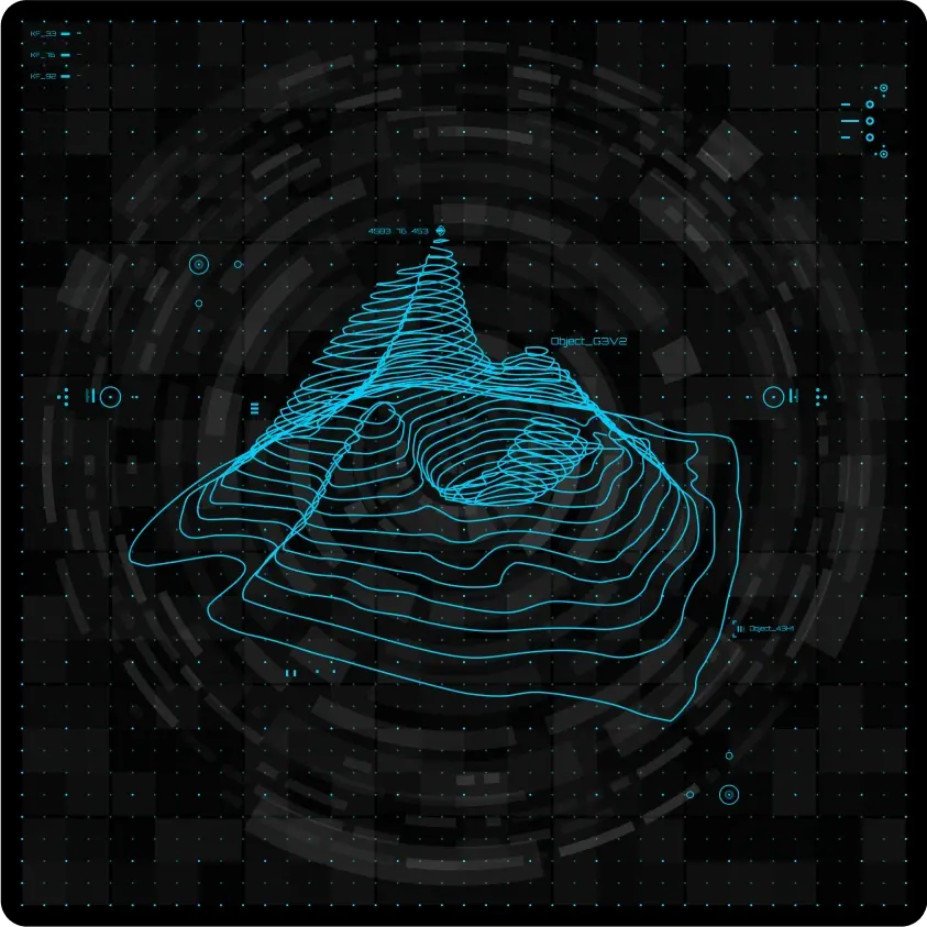
Geospatial Intelligence
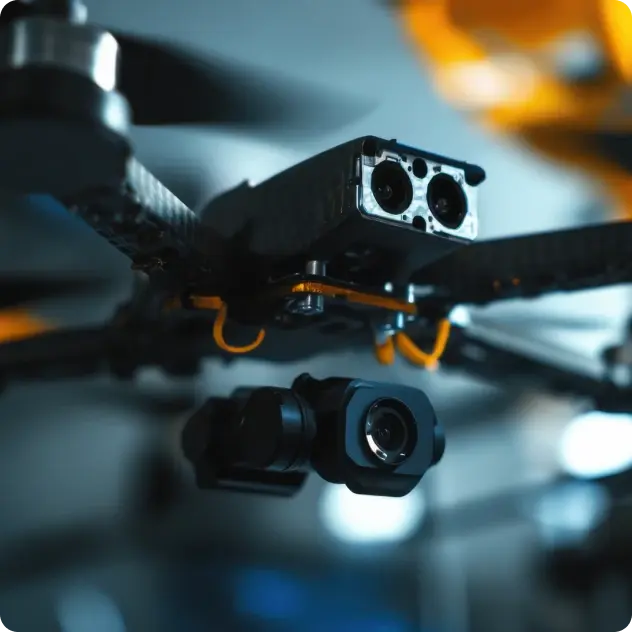
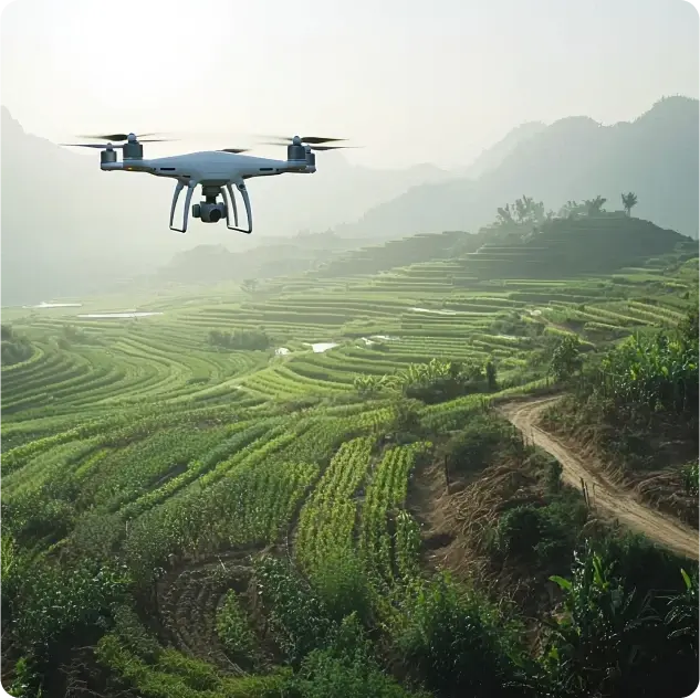
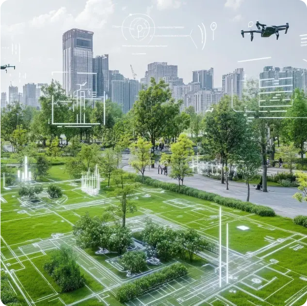
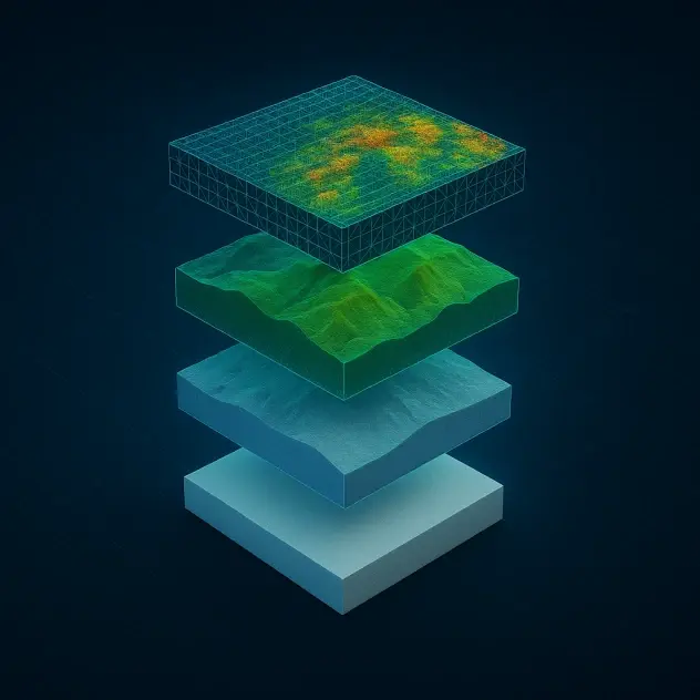
Trentar's state-of-the-art aerial intelligence solutions combine drones, IoT and geospatial analytics to map, monitor and manage complex environments in real time.
- LiDAR Mapping
- Geo Intelligence
- City Planning Tools
- IoT Integration

